


This month has been so crazy with work that I didn’t realize it has been since May 4 when I put up my previous post about going back to Capitol Reef National Park. Please accept my apologies for the long delay. Anyway, to quickly recap my last post it had been seven years since I had last been to Capitol Reef, and on my first day back in the park I decided to hike the Cohab Canyon trail. I wasn’t quite sure how I was going to feel the next day after the hike, so my tentative plans were to drive down through Utah 12.
Utah State Route 12 is supposed to be incredibly scenic, and my original plan was to head south towards Boulder and eventually Escalante in southern Utah. I got a pretty early start out of my campsite in Torrey, and hit the road. However, it didn’t take long for me to realize that it was going to be hours before I saw better scenery along the route. I found a place to pull over, and reassessed the maps as well as my plans for the day. I decided it would probably be better to go back into Capitol Reef National Park and head south down the Scenic Drive route. I have driven Scenic Drive previously, but I have never been on Capitol Gorge Road or hiked the Golden Throne Trail or the Capitol Gorge Trail. I turned around, and proceeded back up to Torrey and then over into the Capitol Reef National Park.
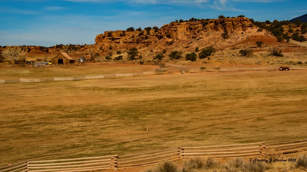
When I pulled off Utah 24 to turn into the visitor center, I was met with quite a surprise. Not only was the parking lot full; it was overflowing! Folks were even parked along the road. I was originally thinking of talking to the park rangers about the trails, but scrapped that idea as soon as I saw the parking lot. So, I found a place to pull off; used the facilities, and proceeded south on Scenic Drive. Traffic didn’t seem unusually heavy at all either coming or going, so I wasn’t too worried about what I might encounter near the trail heads. When I got to the end of Scenic Drive, I found a spot at the parking area and decided to have lunch under the pavilion while I was thinking about the terrain and which trail I wanted to attempt.
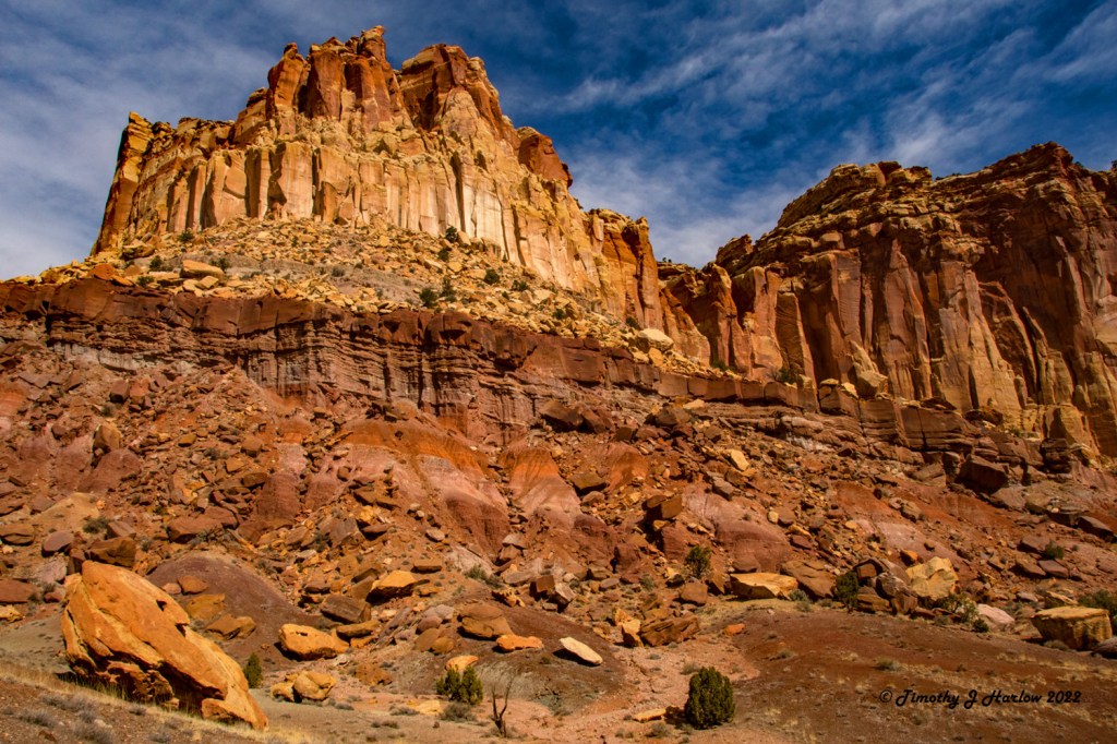
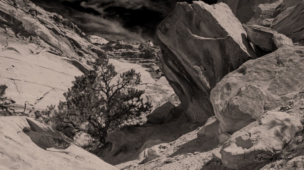
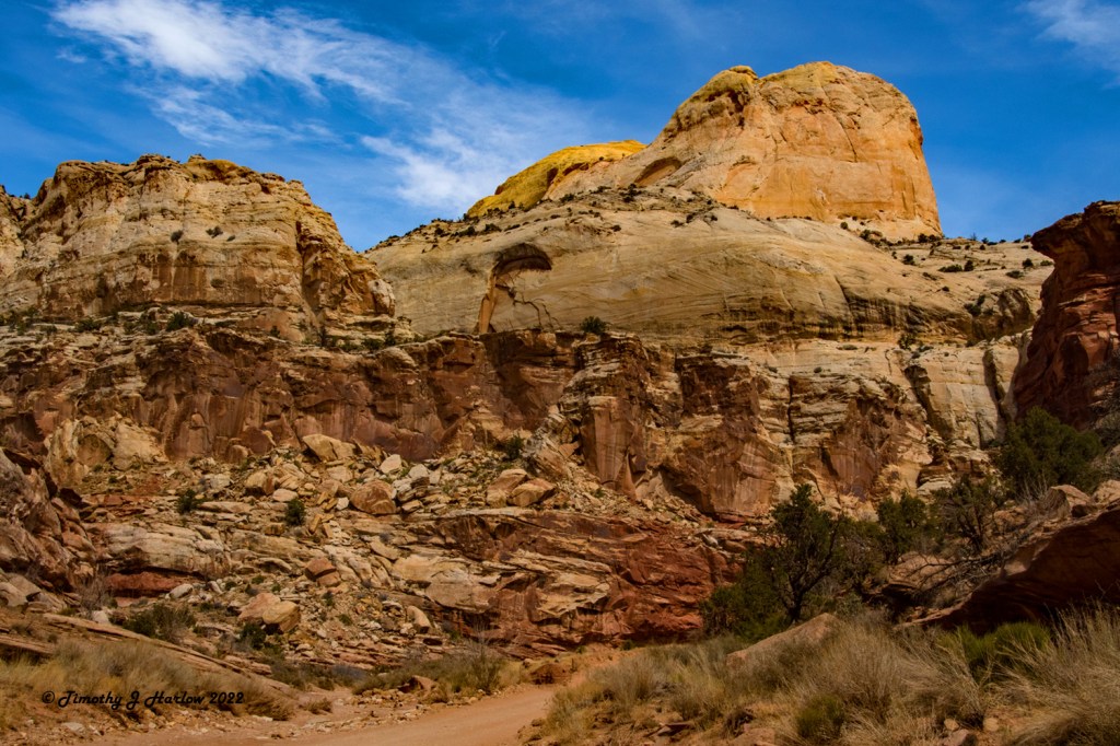
While I was eating my lunch, I noticed some interesting rock formations across the road from the pavilion looking northward. I also noticed the light quality on the cliff formations on the north side of the Capitol Gorge Road as it went into the canyon. After I finished eating, I grabbed my camera gear and water out of the truck, and decided to go exploring and see if I could find some photos right here.
Well now that my creative juices were starting to flow again, I put my pack back in the truck and started up the Capitol Gorge Road. It seemed that everywhere I looked there was something that might make a pretty awesome photograph. I probably hadn’t driven even ½ mile into the canyon when I found another place to pull off, and grabbed my pack to take some more photographs.
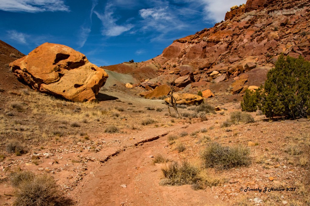
This canyon was just incredible. There were potential photos everywhere! I assume that Capitol Gorge Road follows old riverbeds as it winds through the Capitol Gorge Canyon towards the East. From what I understand from reading about the history of the Capitol Reef National Park area, this Capitol Gorge Road was used by the early pioneers to traverse this land from the East towards the West across the Water Pocket Fold which makes up the majority of Capitol Reef National Park. If you look at some of the park literature, there are some old photographs of Model T trucks driving through Capitol Gorge.
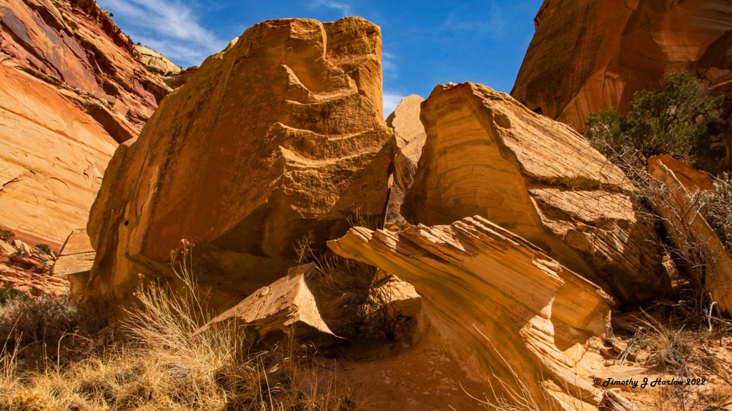
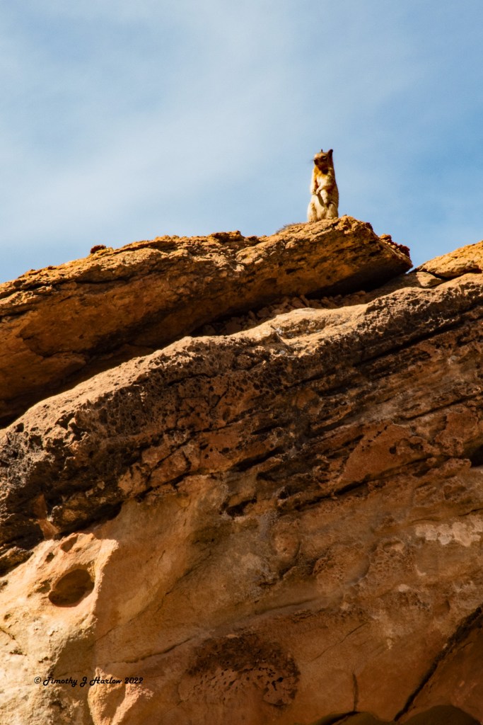
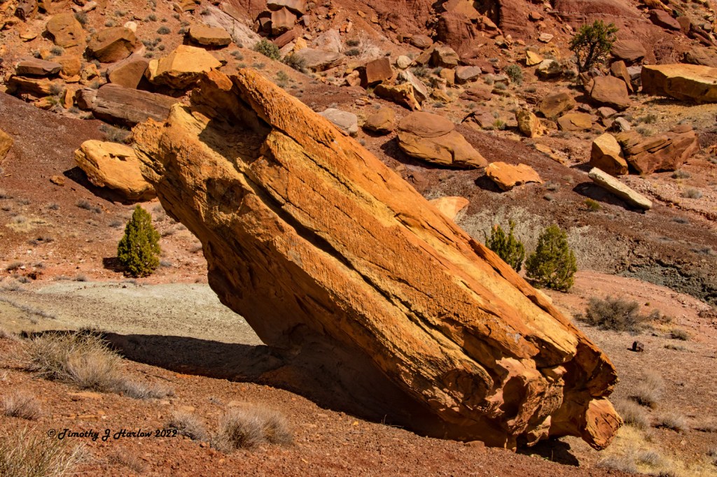
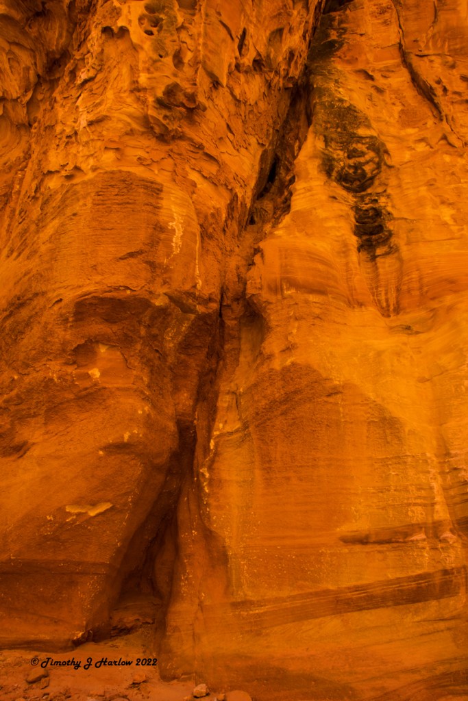
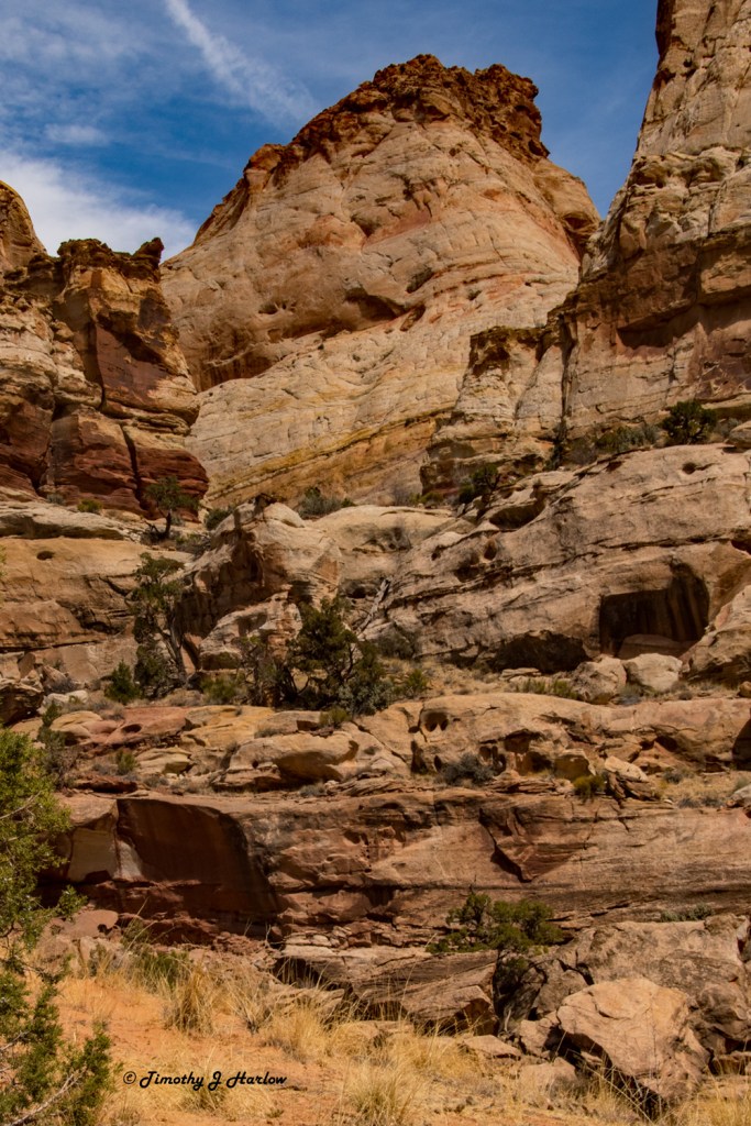
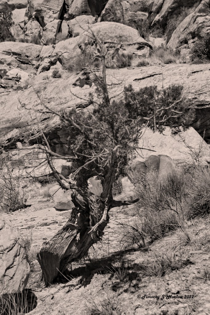
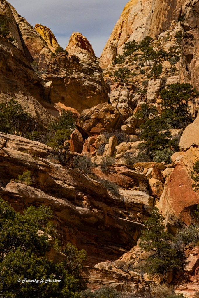
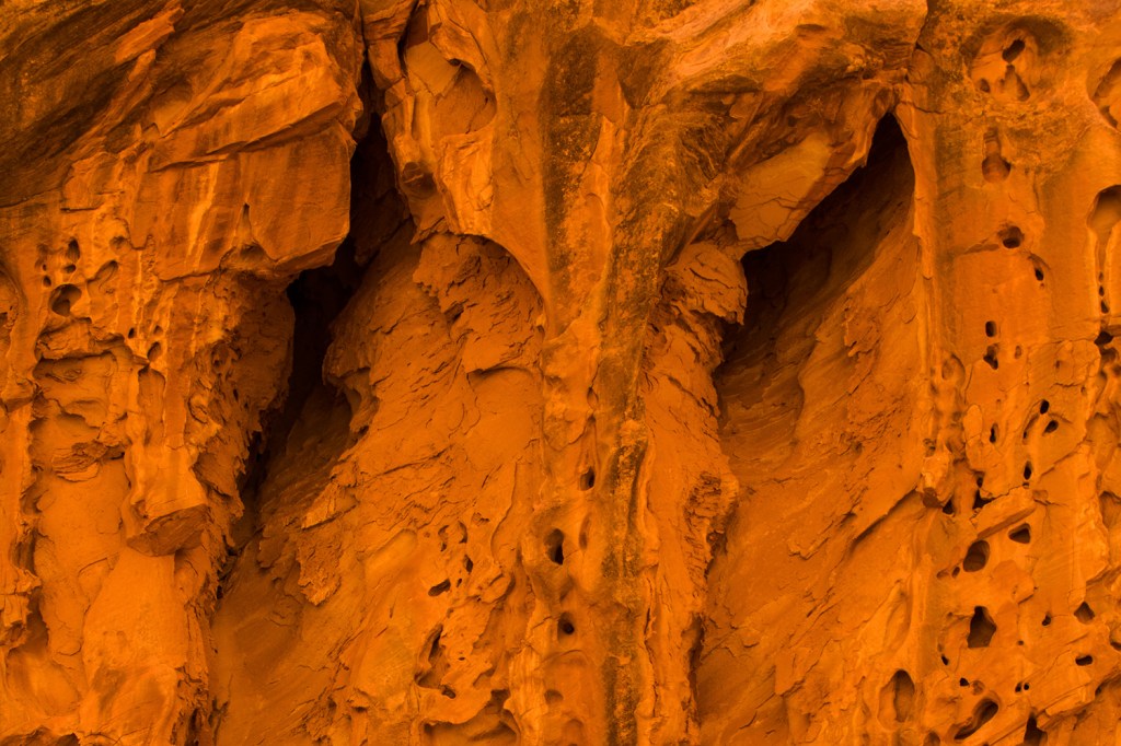
It seemed that around every bend there was new scenery with different views than even ¼ mile back. Some of the canyon has that yellowish white sandstone that has worn away into the familiar dome shapes which give Capitol Reef its name. And then some of the canyon had incredibly red sandstone that almost glowed in the soft shade facing away from the sun. Also, the near constant wind has carved some very interesting formations into some of the more exposed rock.
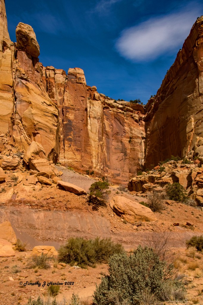
As I proceeded farther east into the canyon, the views continued to change. I took a few photographs in a broad shaded side of the canyon as the light was just incredible. I also noticed that there was more traffic coming in and out of the canyon, but I seemed to be the only one stopping along the way. Everyone else seemed to be either heading to the trails or leaving the canyon.
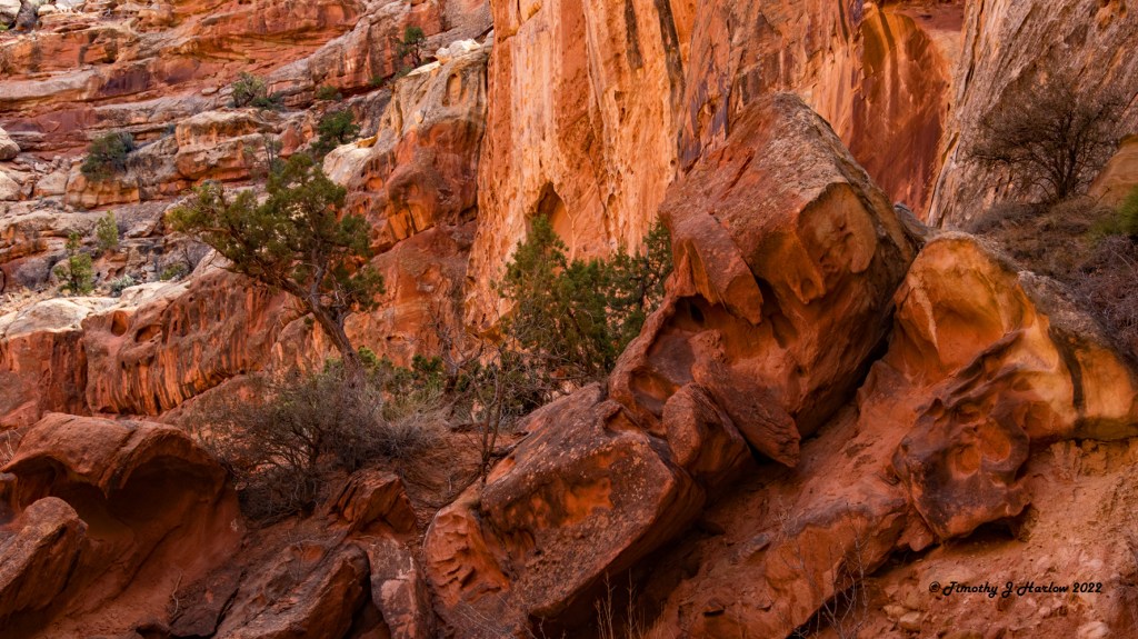
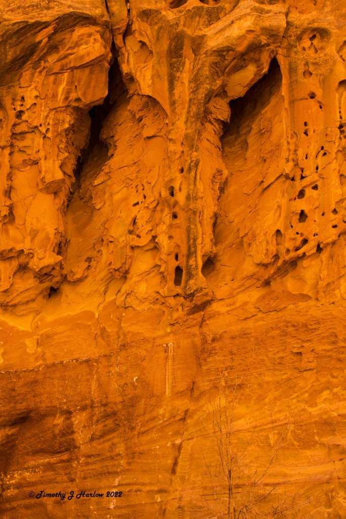
Around a few more bends I saw this really interesting formation in the background to the north of the road. Fortunately, there was a very wide area on this bend with plenty of room to pull the truck well off of the road and be out of the way. I ended up spending quite a bit of time in this area walking around both sides of the road and scrambling up to some rocks and small cliffs to gain better vantage points. As I said earlier, it seems that there was a photograph waiting to be taken at almost every possible angle.
After checking the maps again, I figured I must be almost at the end of the road near the parking area for the two trailheads. My intent was to hike the rest of Capitol Gorge, but things didn’t work out that way. When I reached the parking area, there was absolutely no parking whatsoever. People had parked in every available space as well as places where they shouldn’t have parked, blocking the turnaround area. Right before the parking area the dirt road crossed a stream-bed in a depression. The stream-bed was down about 18 inches below the grade of the road, but fortunately there was a graded decline rather than an abrupt edge.
I made a J turn with my truck, and backed down into the stream-bed to complete the turnaround. The intent was to gradually come up out of the stream-bed onto the road going back towards the Scenic Drive. The stream-bed was pretty sandy, so I had already put my truck in four-wheel-drive anticipating I would need that to get out. Well, I was stuck! I backed up a bit as I was able to do that, and put the truck in four-wheel-drive low, making sure that my front wheels were straight. I then inched forward towards the roadbed, and then stopped and reversed once more. This time I had more momentum with a little bit of an angle to get myself back up onto the road, and I made it without much difficulty. Thank goodness for low range four-wheel-drive!
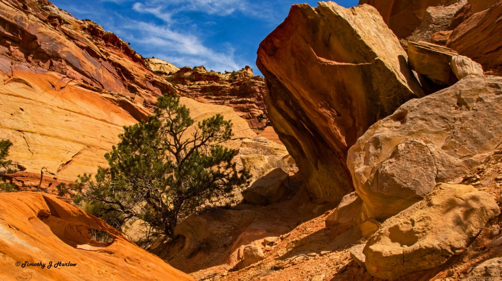
I was fairly disappointed about not being able to complete the trail, but I figured I would just continue back towards the Scenic Drive Road and continue to find more photographs. I did find a couple of new scenes that I thought were quite striking.
That’s about it for day two in Capitol Reef National Park. It was getting fairly warm, and I didn’t think that the sun angle was very good for taking any more photographs. I made it back to the end of the Capitol Gorge Road, and then proceeded back towards my campsite in Torrey. Even though the day worked out entirely differently than I had planned, I saw some really cool country that I had never seen before. And I think I got some decent photographs.
I guess there’s a little bit of a lesson here. When visiting mother nature, it’s best to be flexible and not too rigid with your plans. You never know what you’re going to find around that next bend, so just keep your eyes open and be prepared to enjoy whatever comes your way.
It has been really fun to get back into my old routines, and I was pretty pleased with how I handled the hiking, the scrambling around on the rocks as well as the heat. I think I’m going to make it through this whole prostate thing. I hope you enjoyed this tour of Capitol Reef National Park. And, I hope that I don’t wait seven years to come back again as there is so much more to explore.


Great shots! Check out the Burr trail drive someday… White knuckle!
LikeLiked by 1 person
Thanks Ben! I have heard it’s awesome. Happy travels. 🙂
LikeLike
I just stumbled across your blog and this lovely little series on Capitol Reef. Your pictures certainly make it look spectacular and an interesting write up too, it would be a great place to explore! Cheers from Tasmania 😀
LikeLiked by 1 person
Oh, thank you very much! Capitol Reef is indeed an awesome place. Tasmania is on my list. Thanks for visiting my blog. Wishing you well.
LikeLike
Tasmania is a great place to live but we’ve been discovered! Get here soon before the tourists ruin it 😉
LikeLiked by 1 person
Thanks for the tip. 👍👍
LikeLiked by 1 person